Why should we care about water?
As is discussed frequently in Smart Energy Education, water and energy share a unique and important relationship. We need energy to access water, and we need water to access energy. This connection, otherwise known as the energy-water nexus, is a pillar in our societies and intimately impacts the comfortability of our lives. We use water for everything from hygiene, cleaning, and watering our lawns to the cooling of the power plants that provide us with electricity and industrial processes that manufacture the products we love. Not to mention the water used to create energy through methods like hydroelectric dams.
Additionally, water plays a key role in the health and balance of the environment. For example, as the water around the equator warms up and the water from the glaciers at the Earth’s poles melts, the warm water rises to the ocean’s surface, and the cold water sinks to the bottom, causing the ocean currents to come to life. These currents are then responsible for transporting warm water and carbon dioxide (which the ocean also absorbs from the atmosphere) more evenly around the globe.
However, as greenhouse gas emissions increase the hot air and carbon dioxide trapped in the atmosphere, the excess heat absorbed by the ocean’s water can warm up the glacial water to abnormally high temperatures, keeping it from sinking as it usually would. Consequently, ocean currents can slow down or even cease movement altogether. This can cause changes in weather conditions and rising sea levels, leading to natural disasters like floods, droughts, and abnormal rain patterns.
For these reasons, having a clear representation of where our water is, how much there is, where it is and where it will be in the future is essential to provide communities with a much-needed advantage.
What is the NASA SWOT Mission?
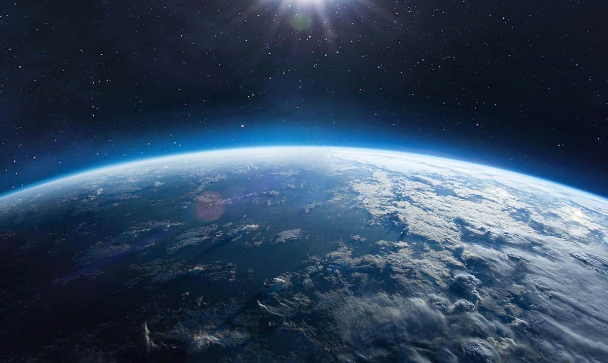
71% of the Earth’s surface is covered in water. Yet, despite our water resources’ constant influence on our lives, data regarding water quantities are limited. The Surface Water and Ocean Topography (SWOT) mission is set to help NASA provide the very first global surface water survey. Through a satellite, researchers will be able to do everything from measuring the height of the water found on the Earth’s surface, including bodies of freshwater like rivers and lakes as well as the ocean, to collecting data on ocean features, specifically those less than sixty miles across. The spacecraft will even be able to observe in three dimensions the entire length of rivers wider than 330 feet. Additionally, they will be able to gather information on how global warming influences freshwater reservoirs, rivers, and lakes—allowing communities to better prepare in case of water-related natural disasters.
The mission, set to launch on Thursday, December 15th, has been taken on with the help of an international and multidisciplinary team including NASA, Centre National D’Etudes Spatiales (CNES), along with contributions from the Canadian Space Agency (CSA), and United Kingdom Space Agency. Once launched, it will initiate one of the most in-depth investigations of the world’s water resources in history.
In the face of climate change, increasing energy consumption, and an increasing population, the location, and accessibility of these essential water resources is crucial. If you are interested in learning more about water and energy, go to Smart Energy Education and Watt Watchers for resources, blogs, activities, and more! To learn more about the SWOT mission, visit their website here.
We'd love to help answer any questions and help you get started! Drop us a line and we'll get back to you as soon as we can.
Watt Watchers of Texas
204 E. Dean Keeton Street, Austin, Texas 78712
contact@watt-watchers.com
Nos encantaría contestarle cualquier pregunta que tenga y ayudarle empezar! Envíenos un mensaje y nos pondremos en contacto con usted lo antes posible.
Watt Watchers de Texas
204 E. Dean Keeton Street, Austin, Texas 78712
contact@watt-watchers.com